On June 1, 2021 at 6 pm, I will be giving a Zoom presentation for the Historic Highway 99 Association of California on US 99 in Lake Shasta with photos of the exposed highway and information about reservoir levels. Come join us!
In October 2008, Lake Shasta was dropping to near historic lows. I took a trip up there to hike many of the exposed alignments. I also got out in the water in my wetsuit when I needed to. The whole trip was a lot of fun. Here are the photos from that trip.
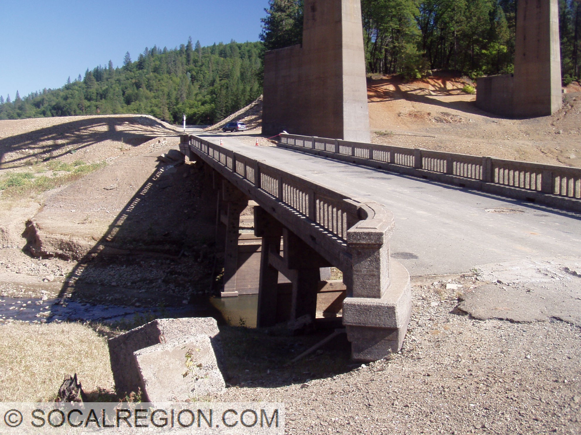
Salt Creek Inlet and Lakehead Area:
Pit River Area:
Where US 99 goes into the lake on the south bank near the Pit River Bridge.
One of my interests is old highways. I’ve followed old US 99 and US 6 in Southern California for many years. A trip on the old “Ridge Route” between Castaic and Gorman was always a treat. I got be curious about how they looked when they were new, why they were built, and who built them. The journey that has taken me along has greatly increased my knowledge and understanding of both the history of the highways and of Southern California. It has become something much greater to me as a result. I understand why the cities and highways are laid out as they are.
However, in searching for some of the old highways, things can get tough. Realignments can sometimes take a roadway far from its original alignment, making the original harder to find. Sometimes its very obvious where the old road went. In Southern California, a massive megalopolis exists where there was once farmland. Old alignments may be ripped up and replaced with shopping centers. Using various tools available to me, including the Internet, old maps, highway logs, and topographical maps, I’ve been able to track down quite a few alignments that you’d never know were anything special today.
You just never know when you’ll find something! Exploring old highways and byways can be a great adventure. Come join me!
Swimming to a 1901 Southern Pacific Railroad bridge and tunnel in Lake Shasta near Lakehead. October 2008.
Swimming old US 99 in 2005 at Salt Creek in Lake Shasta.
Out on old US 395 in the June Lake area in March 2009.