This area is mostly composed of Pliocene Furnace Creek Formation. The formation is rich in borate deposits, to which there are many small mines in the area. Gower Gulch is a rather special case, as in the late 1940’s, Furnace Creek was diverted into its drainage near Zabriske Point. The results of this have been most interesting. The Gower Gulch fan has been incised near its top, erosion within the canyon has greatly increased, and new sediments are being brought into the canyon. The rock near the mouth of the canyon are a part of the Artists Formation, more famous in the area along Artists Drive.
1952 USGS map showing Gower Gulch and Golden Canyon. Note the stream passing through Gower Gulch from Furnace Creek Wash.
Gower Gulch:
Mouth of Gower Gulch in February 2006. Note the deeply dissected alluvial fan to the right. The grey deposits on the floor of the wash are the result of post-diversion floods. Pre-diversion sediments are lighter in color, and smaller in size.Results of the diversion at Zabriske Point. This photo was taken after the flood of August 2004. Hwy 190 is partially visible on the left side, below the brown ridge.Within the canyon, the sediments are adapting to the changes. Here, the expansive clays within the Furnace Creek Formation have pushed up the silts deposited from a large flood.Here, the difference in post and pre-diversion sediments are more obvious. The larger clasts within the wash are post-diversion. On the left side of the side canyon, debris deposited during a high flood is visible.
Golden Canyon:
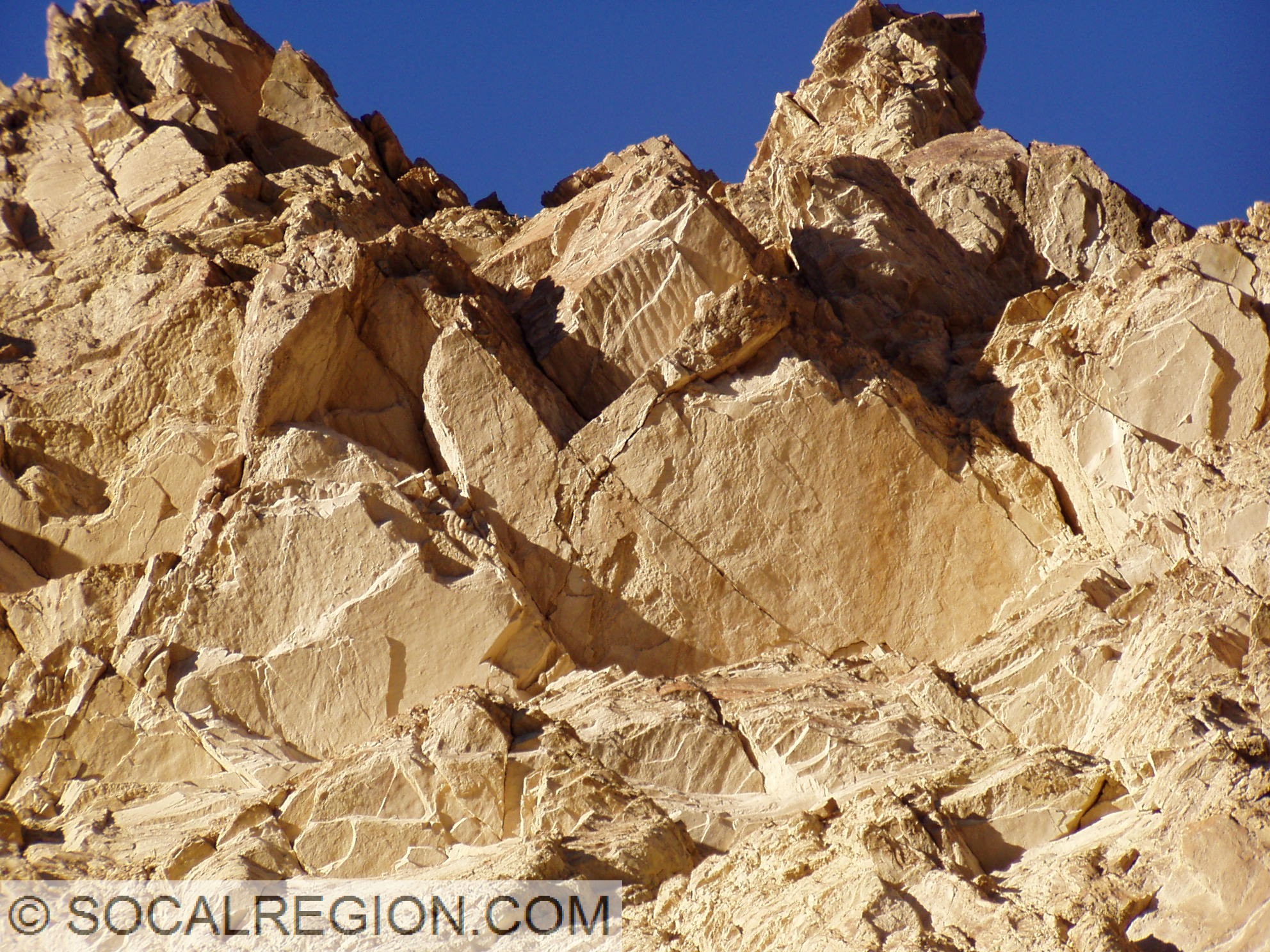
Former canyon level visible as a reddish brown terrace. This shows how fast the softer sediments here erode.Ripple marks in the middle section of the Furnace Creek Formation.