
Santa Clarita Valley

Newhall
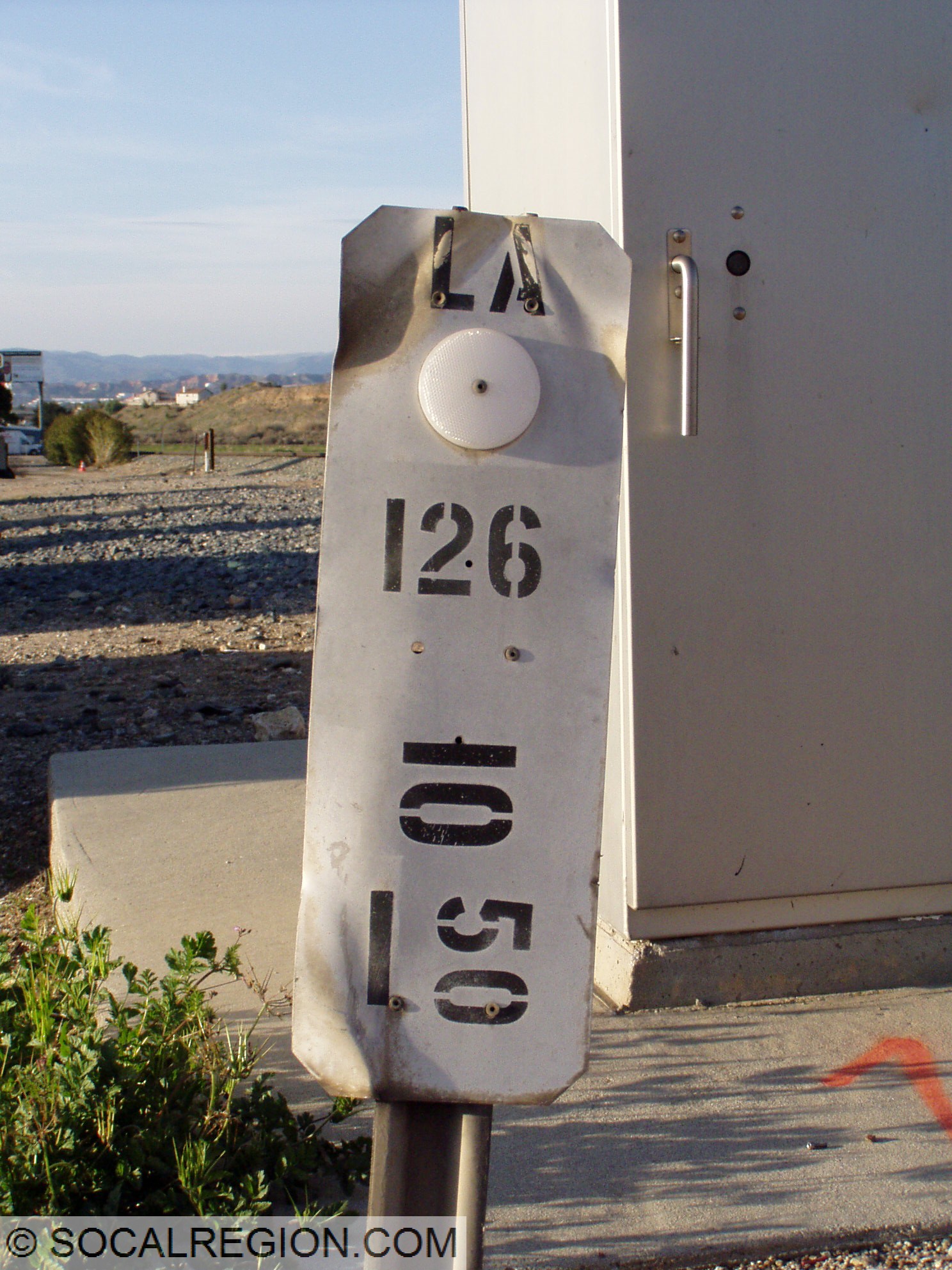
El. 1270′
San Fernando Road

Newhall was founded in 1876 after the completion of the Southern Pacific Railroad through this area. It was originally located two miles north at the present location of Saugus but was relocated here in 1878. US 6 went through Newhall on San Fernando Road from 1937-1939. US 99 also ran this way from 1928 – 1930. The original main street ran down Railroad Avenue. In 1910, it was moved to San Fernando Road via Newhall Avenue and 10th St. (now Lyons Avenue). In 1935, San Fernando Road was widened to four lanes. US 99 also followed this alignment from 1926 to 1930.


Go East on US 6 / North US 99 (1926-1930)
Go West on US 6 / South US 99 (1926-1930)
Return to US 6 Introduction